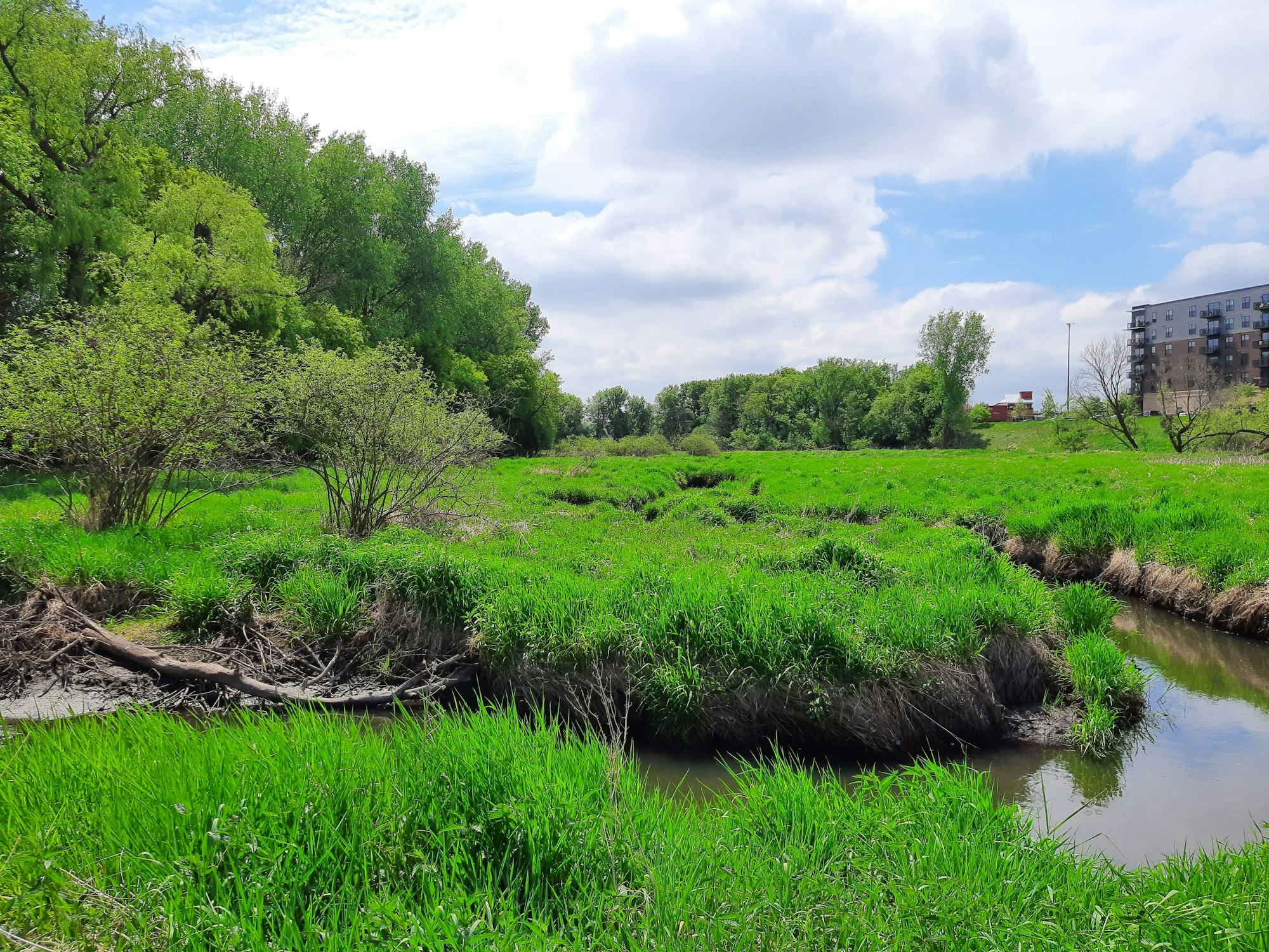
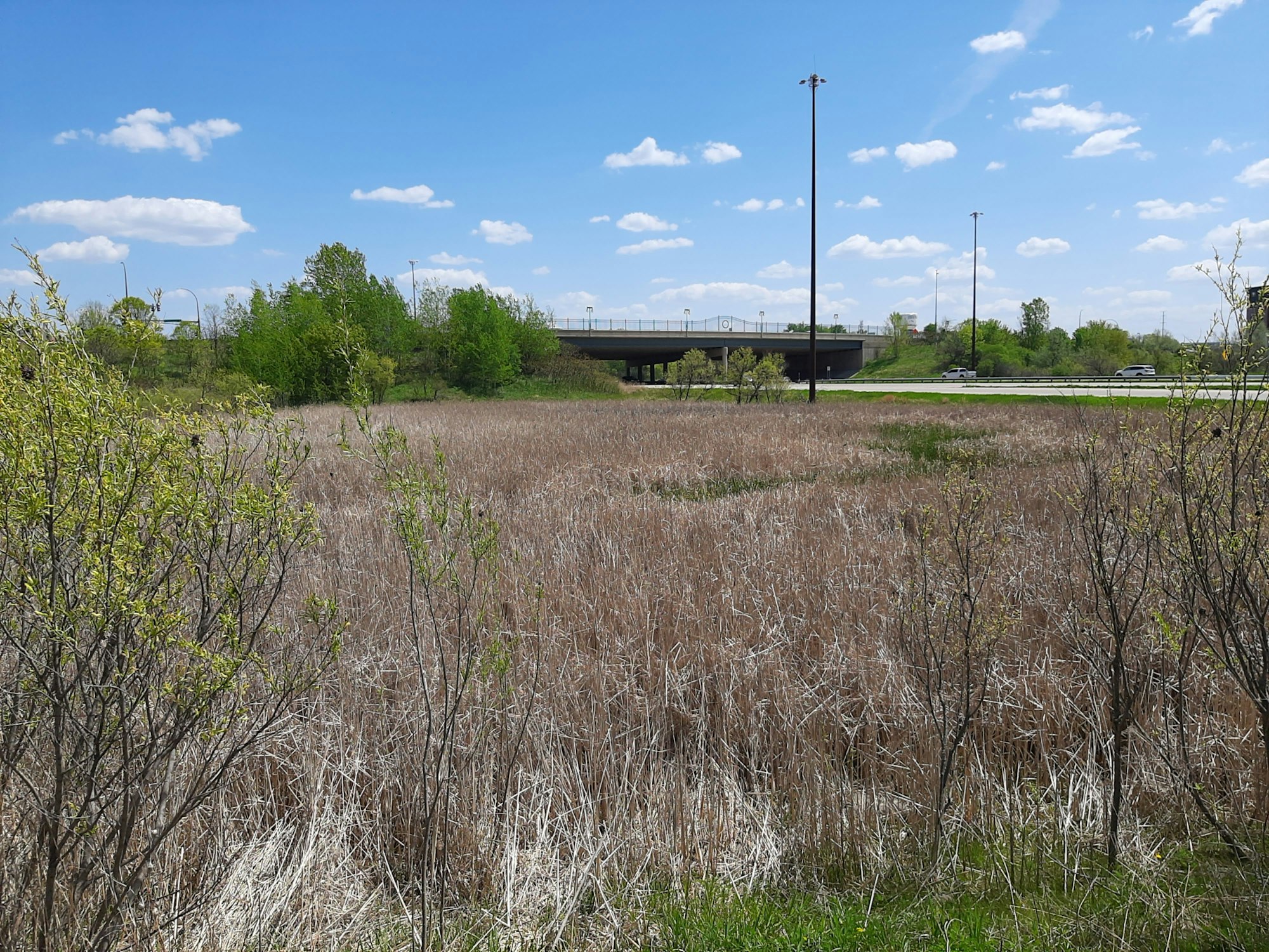
Wetland Monitoring

The wetland monitoring program supports the 10-year plan in assessing and prioritizing wetland rehabilitation, protection and creation. Wetland assessments conducted during the growing season (mid/late spring – early fall) are the basis of the program.
RPBCWD staff assess wetlands using a modified version of the Minnesota Routine Assessment Method (MnRAM) as well as the Rapid Floristic Quality Assessment (FQA). Staff combine these two assessment methods to determine how well sny given wetland is functioning. These assessments are the starting point for identifying wetlands which would benefit from some sort of project. Observations and data collected during assessments are used to assign values to the following functional categories:
- Vegetation diversity/integrity
- Habitat structure
- Amphibian habitat
- Fish habitat
- Shoreline protection
- Cultural/recreational/educational value
- Stormwater/urban sensitivity
- Wetland water quality
- Characteristic hydrology
- Flood/stormwater attenuation
- Commercial use
- Downstream water quality
Minnesota Routine Assessment Method (MnRAM)
The Minnesota Routine Assessment Method (MnRAM) for Evaluating Wetland Functions is a tool developed by an interagency working group to assess wetlands following passage of the Minnesota Wetland Conservation Act in 1991. It is a systematic way of documenting wetland functions and characteristics. The District uses a revised version of the MnRAM tool for its wetland assessment. This modified version allows staff to input more details about wetlands and their functions, providing a more accurate assessment of the site. During wetland site visits, staff walk and assess the site, fill out a MnRAM worksheet, and document the site with photographs. Through wetland assessment, staff are building a detailed catalogue of wetlands in the District. The catalogue supplements standard state and federal wetland inventories by including details such as fine-scale wetland extent, more accurate vegetative community designations, record of wetland impacts and degradation, and infrastructure risks.
Learn more about MnRAM on the BWSR wetland functional assessment page.
Floristic Quality Assessment (FQA)
Developed by the Minnesota Pollution Control Agency (MPCA), the Rapid Floristic Quality Assessment (FQA) for wetlands provides an ecological assessment approach based on plant habitat requirements and/or tolerance for disturbance. Staff meander through the wetland, spending a set amount of time in each plant community, recording plant species and their density throughout. From this a floristic quality index (FQI) can be calculated. The higher the FQI, the closer the plant community is to a natural state.
FQA compliments MnRAM by providing a quantitative assessment of the makeup and quality of plant communities within a wetland. When used together, FQA and MnRAM data sets provide a much more comprehensive assessment of wetlands. RPBCWD first began FQA at the end of the 2020 field season. FQA has been a standard part of all District wetland assessments since 2021.
Learn more about FQA on the MPCA's Floristic quality assessment/evaluating wetland vegetation page.
Wetland Management Classifications
The functional values calculated from wetland assessments are used to generate an overall management classification for each individual wetland. These classifications are low, medium, high, and exceptional value.


These classifications and associated metrics collected during assessments inform District wetland prioritization when identifying wetlands for future restoration and rehabilitation projects or other BMPs. Wetland management classifications are also used to inform the District’s regulatory program.
For mor information read more in the District's annual wetland report:
2023 Wetland Program Report
