Riley Creek
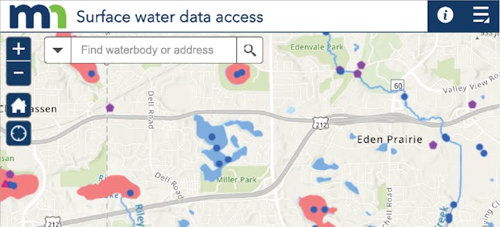
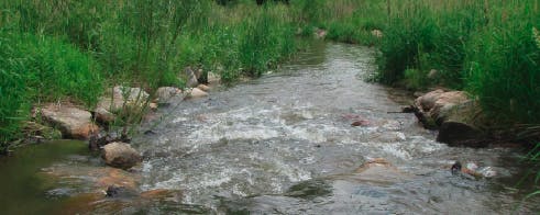
Riley Creek begins at lakes Lucy and Ann in Chanhassen and flows through three lakes - Susan, Rice Marsh, and Riley - before descending to the Minnesota River Valley. The creek has mild topography in its upper and middle watershed, but below Lake Riley the banks become steep.
Keeping Riley Creek healthy requires several tools and strategies. Conducting projects to stabilize streambanks and restore stretches of stream is one strategy. Cleaning and slowing rainwater runoff before it reaches the creek is another. Before either of these can be done, we need to understand how the creek is doing and where it needs the most help.
District staff have monitored Riley Creek since the 1980s. To assess creek health, staff developed a tool called the Creek Restoration Action Strategy (CRAS). CRAS uses water quality data, as well as information on erosion and habitat, to rank which creek stretches (sections) are doing the best and which are doing the poorest.
Stream Characteristics
| Length | 9.6 miles |
|---|---|
| Elevation Change | 230 ft |
| Watershed size | 10 sq miles |
| Number of cities in watershed | 2 |
| Number of lakes connected | 5 |
| Number of monitoring sites | 5 |
| Number of parks | Deep |
| Impairment | Turbidity |
| Common fish | Green Sunfish, Fathead Minnow, Bluntnose Minnow |
| Invasive species | Common Carp |
Stream Health
RPBCWD staff monitor streams at several sites. Riley Creek has five monitoring sites. Data is collected at each of these sites to detemine if there's an impairment in the following categories:
- Total suspended solids
- Total phosphorus (nutrient)
- Macroinvertebrates (aquatic animals)
- Dissolved oxygen
- Fish species
- E. coli (bacteria)
For more information about waterbody impairments, visit the Minnesota's Impaired Waters List webpage managed by the Minnesota Pollution Control Agency.
Chloride: A Growing Concern
Chloride permenently pollutes our lakes, ponds, wetlands, and creeks. Chloride sources include winter de-icing salts, water softeners, and fertilizers all contribute to chloride pollution.
Visit the factsheets page to see the most recent stream water quality monitoring summaries.


